Land Surveyor Near Me: What to Know Before You Call One in Monroe County
The search is simple. You typed “land surveyor near me” and got a list of names. What comes next is harder: figuring out which firm to call, and before that, whether you’re ordering the right type of survey for what your attorney, lender, or municipality is actually asking for.
Most survey problems come from one of two mistakes. The first: ordering the wrong type of survey, then paying for a second one when the first doesn’t satisfy the requirement. The second: hiring on price alone and waiting two months for a deliverable that gets rejected at the closing table.
This guide is for property owners in Monroe County, Wayne County, Ontario County, and the Rochester area who need a licensed land surveyor and want to get it right the first time.
What Type of Survey Do You Actually Need?
This is the question most people skip. A surveyor can perform several distinct types of work, and they are not interchangeable. Ordering the wrong one wastes money and, more often, time you don’t have.
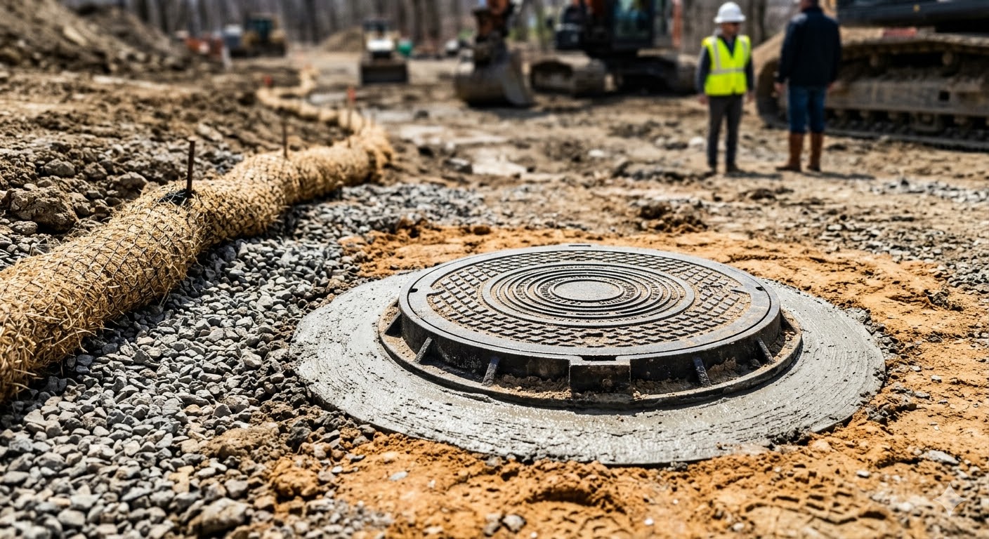
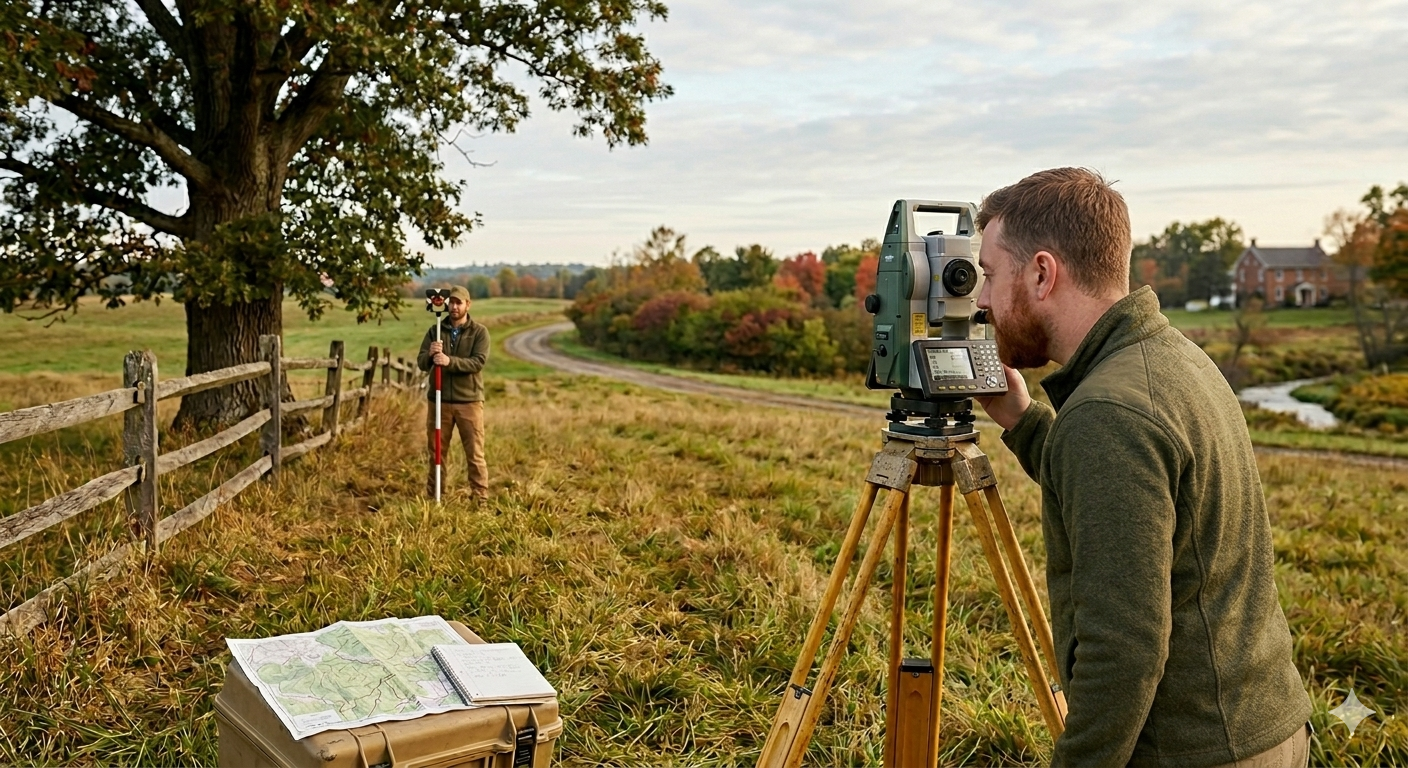
Instrument survey. In New York, this is the standard term for a boundary survey certified by a licensed Professional Land Surveyor. When an attorney, title company, or municipality says “you need a survey,” they mean this. An instrument survey establishes the legal boundaries of your parcel based on the recorded deed description. The deliverable is a certified map, signed and sealed by a licensed PLS. Required for: real estate closings, building permit applications, additions or fences near lot lines, boundary disputes.
ALTA/NSPS survey. The standard required by title insurers on commercial real estate transactions. More comprehensive than a standard boundary survey: it locates improvements, easements, encroachments, and other conditions that affect title. Takes longer and costs more. If your lender or title company uses the word “ALTA,” this is what they need. It is not required for most residential transactions.
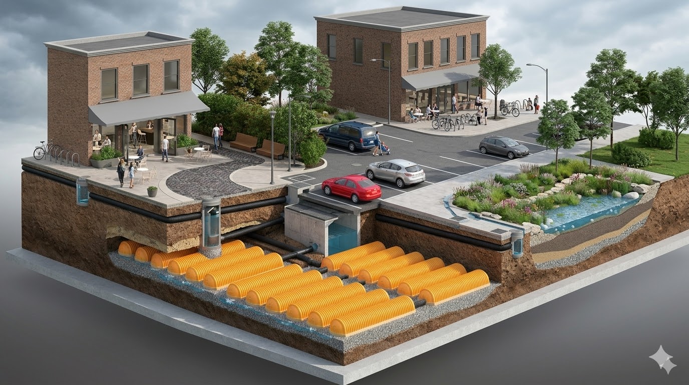
Topographic survey. Maps the physical features of a property: grades, contours, existing structures, utilities, drainage patterns. Used for design purposes, not for title. If an engineer, architect, or contractor is designing something on your site, they need a topo. If you are buying or selling a residential property, you don’t.
Elevation certificate. A FEMA form that a licensed surveyor completes to certify the elevation of a structure relative to the Base Flood Elevation on the FEMA Flood Insurance Rate Map. Required by lenders when a property sits in a designated Special Flood Hazard Area. Also the starting document if you believe your property has been incorrectly mapped as a flood zone — a process called a Letter of Map Amendment.
Property line stakeout. Field work that locates and marks your property corners with iron pins or stakes. No certified map is produced. The surveyor sets the corners and leaves a written description of what was found. Appropriate for fence projects, landscaping near lot lines, or confirming setbacks before a small addition. If you need a certified map for a permit or a closing, a stakeout alone won’t satisfy the requirement.
If you’re not sure which type applies, call and describe what triggered the need. “My attorney said I need a survey before closing” and “I want to install a fence and need to know where my line is” are different jobs with different deliverables.
What “Licensed” Means in New York State
Land surveying is a licensed profession in New York, regulated by the State Education Department under Education Law §7200. To sign and certify a survey map in New York, a person must hold a Professional Land Surveyor (PLS) license. A civil engineer’s license does not qualify. A contractor’s license does not qualify.
The PLS credential requires a four-year degree in surveying or a related field, four years of progressive experience under a licensed PLS, and passing two national licensing exams. It is a significant credential that takes years to earn.
A survey map not signed and sealed by a New York-licensed PLS has no legal standing. It cannot be used to close a real estate transaction, satisfy a lender’s requirements, or resolve a boundary dispute in court.
When you call a surveying firm, ask one question directly: will a licensed PLS sign the final map? The answer should be yes, without hesitation.
What to Have Ready
The more information you provide upfront, the faster and more accurate your quote will be. Surveyors price jobs based on anticipated field and office time, and that estimate depends on the complexity of the parcel.
Prior survey. If the property was surveyed in the last 20 to 30 years, find it. It may be in your closing documents or on record at the Monroe County Clerk’s office. An existing survey map tells the surveyor whether the boundaries are well-established or whether there are discrepancies to resolve. It can reduce both cost and turnaround time.
Your deed. The deed contains the legal description of the parcel. A metes-and-bounds description (specifying bearings and distances) is more useful to the surveyor than a lot-and-block reference, but either helps.
Tax parcel ID. Every Monroe County parcel has a unique tax map ID number, printed on your property tax bill. This speeds up the records search considerably.
What triggered the requirement. The purpose affects which deliverable is appropriate. “My lender requires flood zone documentation” is a different job from “I’m planning to build a garage 10 feet from my rear lot line.” Know this before you call.
How Survey Pricing Works
Land survey pricing is not a commodity. Two jobs that sound identical can have very different costs depending on what the surveyor finds in records and in the field.
The factors that drive cost:
Deed complexity. A simple rectangular lot described by four courses is faster to resolve than an irregular parcel with twelve courses referencing abandoned monuments and 19th-century right-of-way descriptions. Older deeds in rural Wayne County and Ontario County properties are a common source of this complexity.
Time since the last survey. If no survey has been done in 30 years, the existing monuments may be buried, disturbed, or removed entirely. Finding and verifying them takes more field time.
Site conditions. Dense brush, steep grades, standing water, and structures built close to property lines all slow field work. A wooded rural parcel in Wayne County takes more time than a cleared suburban lot in Penfield.
Adjacency. If neighboring parcels have been recently surveyed, the surveyor can reference that work. If no recent surveys exist in the area, more original research is required.
Deliverable requirements. An ALTA survey requires more detail and documentation than an instrument survey. Lender-specific certifications and title company endorsements add time.
Get quotes from two or three licensed firms. But don’t anchor entirely on price.
A quote that’s substantially lower than the others reflects one of two things: less experience with local deed records, or a faster process that the next surveyor will have to correct. The cost of a rejected survey is the cost of the first one plus the cost of the second.
What to Expect
For a standard residential instrument survey in Monroe County, realistic turnaround is two to four weeks from the date you authorize the work. That assumes no significant deed ambiguities requiring title research, straightforward field access, and a normal current backlog.
Complex jobs take longer. An ALTA survey on a commercial parcel with multiple easements can take four to six weeks. A survey that uncovers a boundary conflict requiring research into adjoining deeds can push further.
Spring and summer are the busy season in upstate New York. A firm that books four weeks out in February may be six to eight weeks out in May.
If your closing or permit deadline is fixed, say so when you call. Ask directly whether the firm can meet your deadline before you authorize anything.
Questions to Ask Before You Hire
Are you a licensed Professional Land Surveyor in New York State? The person certifying the map must hold a PLS license. Staff surveyors may do field work under PLS supervision, which is standard practice, but confirm the final map will be signed and sealed by a licensed PLS.
Have you worked in [my municipality] recently? Experience with local deed records and building department requirements matters. A surveyor who has worked extensively in Pittsford, Fairport, or Greece knows where old monuments are found in those subdivisions, what the county assessor’s maps show versus what the record deeds actually say, and what the town’s building department will accept on a permit application.
What does the deliverable include? A certified survey map is standard. Some lenders or title companies require additional certifications or specific formats. Confirm the format before you proceed.
What’s your current turnaround? Get a realistic answer. If your closing is in three weeks and the surveyor is booked out five, you need to know now, not when the deadline passes.
Do you carry professional liability insurance? A licensed PLS carries errors and omissions (E&O) coverage. If a survey error creates a legal or financial problem later, E&O insurance is what makes the firm accountable. Ask if they carry it.
Local Specifics That Affect Survey Work in Monroe County
A few patterns come up with regularity in this area:
Old railroad right-of-way abandonments. The Rochester area has extensive historical railroad infrastructure. When a right-of-way is abandoned, adjacent landowners receive title to the centerline by operation of law, but the deeds often don’t reflect this accurately. If your parcel borders a former rail corridor, this can affect your boundary survey in ways a surveyor without local experience would miss.
Conflicting monument evidence in older subdivisions. Some Monroe County subdivisions have monuments in the ground that don’t match the filed plat. This happens when original monuments were disturbed and reset incorrectly, or when part of a subdivision was re-surveyed without reconciling the whole. Resolving these situations requires a surveyor who knows how to weigh physical evidence against the record, and which one controls under New York law.
Town-specific permit requirements. The Town of Irondequoit, the Town of Greece, and the City of Rochester each have building departments with different requirements for what a survey must show on a permit application. If your project involves a building permit, confirm that the surveyor understands your specific municipality’s requirements before any work begins.
- Property address and tax parcel ID (from your tax bill)
- What triggered the requirement: closing, permit, dispute, or lender
- Whether any prior survey exists and approximately when it was done
- Your deadline, if you have one
Most quotes can be turned around the same day.
Frequently Asked Questions
McMahon LaRue Associates has been surveying properties in Monroe County, Wayne County, Ontario County, and Genesee County since 1995. If you have a survey requirement and want to talk through what’s needed before committing, call (585) 436-1080.